Drought index for Europe pillars copyright ESA(ENGLISH BELOW) Op 2 juli organiseerde DigiShape een werksessie van de NL AIC werkgroep Water en Klimaat om te verkennen hoe AI kan helpen bij watervraagstukken. Eén van de besproken concepten was VARAA, dat AI en satellietdata wil inzetten om nauwkeurige, actuele en bruikbare informatie voor waterbeheer te maken. We spraken met Joost Heijkers, hydroloog bij Hoogheemraadschap De Stichtse Rijnlanden en bedenker van het VARAA concept.

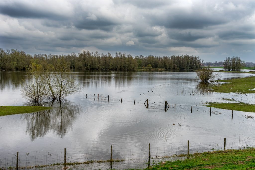
Photo: ©ESA; CESBIO/CATDS/ESA

Wat houdt VARAA in en hoe is het idee ontstaan?

"VARAA staat voor: Visualisation, Acceleration, Representativeness, Accuracy, Actuality. Het concept ontstond uit een behoefte om de combinatie van AI en satellietdata praktisch toepasbaar te maken voor waterbeheerders door het genereren van nuttige hydroinformatie die voldoet aan de VARAA-criteria: Visueel aantrekkelijk, Snel Aangemaakt & Geleverd, Representatief, Accuraat en Actueel. Hoewel AI en satellietdata veel potentie hebben om ons hydrologische systeeminzicht te verbeteren, blijven de daadwerkelijke gecombineerde toepassing en het gebruik achter. De uitdaging die we aangaan is om AI en satellietdata te combineren tot nuttige hydroinformatie die het handelingsperspectief van waterbeheerders vergroot.”

Hoe kan VARAA vooruitgang brengen?

"Innovaties stranden vaak in de proof-of-concept fase en bereiken dan de werkvloer niet. VARAA wil die kloof overbruggen door AI en satellietdata om te zetten in direct bruikbare informatie voor waterbeheerders. Hoewel er veel satellietdata beschikbaar is, wordt deze nog onvoldoende benut in de watersector. VARAA maakt deze data sneller beschikbaar, nauwkeuriger en representatiever voor de gebieden waar beslissingen moeten worden genomen.

AI kan zowel op de aarde als in de ruimte worden ingezet; om uit ruwe data informatie te creëren. Bijvoorbeeld, een bedrijf als Cosine heeft hun AI-algoritmes ingebouwd in satcubes: mini-satellieten die met tientallen tegelijkertijd de ruimte in worden geschoten. Deze satcubes vormen een welkome aanvulling op de 'klassieke' satellieten. Door slimme combinaties kunnen we informatie leveren over hele gebieden, zoals heel Nederland, maar ook een specifieke stad of natuurgebied. Dit zorgt voor snellere en beter onderbouwde beslissingen."

Hoe zie je de rol van AI en satellieten in de toekomst van waterbeheer?

“Ik denk dat AI en satellietdata binnen tien jaar de wereld van de traditionele hydrologische monitoring in sterke mate gaat verrijken en wellicht op langere termijn deels gaat overnemen, dit laatste met name vanuit doelmatigheidsdoelstellingen. Het probleem met de huidige satellietdata is dat deze vaak niet direct bruikbaar is voor de Nederlandse situatie. Dit kunnen we oplossen door VARAA, die data met AI neerschaalt naar een bruikbare ruimte-tijdschaal voor gebruik."

Wat is jouw droomscenario?

"Ik ben sinds 2015 actief binnen het STOWA Programma SAT-WATER dat als doel heeft het gebruik van satellietdata en afgeleide informatie te bevorderen bij de Nederlandse waterbeheerders. Samen met Hans van Leeuwen (STOWA Programmanager), Het Waterschaphuis en andere waterschappers proberen we om dit programma door te vertalen naar operationele informatie voor de werkvloer. Dit heeft geleid tot projecten zoals SATDATA voor verdampingsdata, LIBV voor bodemvochtdata en NL Veranderdetectie voor veranderingen rond watersystemen en waterkeringen. Ons volgende doel is satelliet gebaseerde schattingen van bodemdaling en waterkwaliteit mogelijk te maken.

Met ons tienjarig bestaan in zicht willen we een nieuwe visie ontwikkelen: de integratie van satellieten, AI én ‘klassieke’ hydrologische modellen via het Nederlands Hydrologisch Instrumentarium (NHI; NHI.nu). Deze combinatie kan de waterwereld versnellen door meer en betere hydroinformatie conform de VARAA-criteria.

Stel je voor dat we bijvoorbeeld de toekomstige grondwatertoestand in een gebied als de Utrechtse Heuvelrug in beeld kunnen brengen voor het komende jaar (met seizoensverwachtingen van het weer). Dit zou waterbeheerders kunnen helpen om al veel eerder goed geïnformeerde beslissingen te nemen en watermanagementstrategieën aan te passen om droogte of overlast te voorkomen. Dit is éé van de toepassingen die we met VARAA willen faciliteren, al is er nog veel werk te doen om dit te realiseren."

Wat zijn volgens jou de volgende stappen om VARAA verder te brengen?

"De eerste stap is om concrete usecases te ontwikkelen die laten zien dat AI en satellietdata gecombineerd nauwkeurige hydroinformatie kan opleveren. Misschien kunnen we pilots draaien met het IJsselmeer, de Utrechtse Heuvelrug of Dijkring 15 als proefgebieden. Hierbij is het belangrijk dat we eindgebruikers (waterbeheerders), van begin af aan betrekken. Als zij niet overtuigd zijn van de informatiewaarde zal het nooit van de grond komen.

Daarom is communicatie ook zo belangrijk; we moeten zorgen dat we niet alleen technisch goede resultaten boeken, maar ook dat die resultaten de beleidsmakers en bestuurders bereiken die de middelen hebben om dit soort innovaties op grote schaal te implementeren.”

Hoewel VARAA nog in een conceptuele fase verkeert, heeft het de potentie om een belangrijke rol te spelen in de toekomst van het waterbeheer. De komende maanden zal de werkgroep Water en Klimaat van de Nederlandse AI Coalitie onderzoeken, in samenspraak met het SAT-WATER consortium, hoe dit idee verder kan worden uitgewerkt en geïmplementeerd.

Heb je vragen of wil je met Joost van gedachten wisselen? Je kunt contact opnemen via Dit e-mailadres wordt beveiligd tegen spambots. JavaScript dient ingeschakeld te zijn om het te bekijken. of Whatsapp: 06 27 09 05 00.

--- ENGLISH VERSION (translation by DeepL) ---

AI and satellites for water management: the VARAA concept

On 2 July, DigiShape organised a working session of the NL AIC Water and Climate Working Group to explore how AI can help with water issues. One of the concepts discussed was VARAA, which aims to use AI and satellite data to create accurate, up-to-date and useful information for water management. We spoke to Joost Heijkers, hydrologist at Hoogheemraadschap De Stichtse Rijnlanden and creator of the VARAA concept.

Photo: ©ESA; CESBIO/CATDS/ESA

How can VARAA bring progress?

‘Innovations often fail at the proof-of-concept stage and then don't reach the shop floor. VARAA aims to bridge that gap by turning AI and satellite data into directly useful information for water managers. Although there is a lot of satellite data available, it is not yet sufficiently utilised in the water sector. VARAA makes this data available faster, more accurate and more representative of the areas where decisions need to be made.

AI can be used both on Earth and in space; to create information from raw data. For example, a company like Cosine has built their AI algorithms into satcubes: mini satellites shot into space by the dozens at a time. These satcubes are a welcome addition to ‘traditional’ satellites. Through smart combinations, we can provide information on entire areas, such as the whole of the Netherlands, but also a specific city or nature reserve. This makes for faster and more informed decisions.’

Photo: ©ESA; CESBIO/CATDS/ESA

How do you see the role of AI and satellites in the future of water management?

‘I think AI and satellite data will greatly enrich the world of traditional hydrological monitoring within a decade and perhaps partly take over in the longer term, the latter especially from efficiency objectives. The problem with current satellite data is that it is often not directly usable for the Dutch situation. We can solve this through VARAA, which scales down data with AI to a usable space-time scale for use.’

What is your dream scenario?

‘I have been active within the STOWA SAT-WATER Programme since 2015, which aims to promote the use of satellite data and derived information among Dutch water managers. Together with Hans van Leeuwen (STOWA Programme Manager), Het Waterschaphuis and other water managers, we try to translate this programme into operational information for the shop floor. This has led to projects such as SATDATA for evaporation data, LIBV for soil moisture data and NL Change Detection for changes around water systems and flood defences. Our next goal is to enable satellite-based estimates of subsidence and water quality.

With our tenth anniversary in sight, we want to develop a new vision: the integration of satellites, AI and ‘classical’ hydrological models via the Dutch Hydrological Instrumentarium (NHI; NHI.nu). This combination can accelerate the water world by providing more and better hydro information in line with the VARAA criteria.

Imagine, for instance, that we can visualise the future groundwater status in an area like the Utrechtse Heuvelrug for the coming year (with seasonal weather forecasts). This could help water managers make well-informed decisions much earlier and adjust water management strategies to prevent drought or flooding. This is one of the applications we want to facilitate with VARAA, although there is still a lot of work to be done to make it happen.’

What do you think are the next steps to take VARAA forward?

‘The first step is to develop concrete use cases that show that AI and satellite data combined can provide accurate hydro information. Perhaps we can run pilots with the IJsselmeer, the Utrechtse Heuvelrug or Dijkring 15 as pilot areas. Here, it is important that we involve end-users (water managers), from the start. If they are not convinced of the information value, it will never get off the ground.

This is why communication is also so important; we have to make sure that we not only achieve good results technically, but also that those results reach the policymakers and administrators who have the resources to implement this kind of innovation on a large scale.’

Although VARAA is still at a conceptual stage, it has the potential to play an important role in the future of water management. In the coming months, the Dutch AI Coalition's Water and Climate working group will explore, in consultation with the SAT-WATER consortium, how this idea can be further developed and implemented.

Do you have any questions or want to exchange views with Joost? You can contact him via Dit e-mailadres wordt beveiligd tegen spambots. JavaScript dient ingeschakeld te zijn om het te bekijken. or Whatsapp: 06 27 09 05 00.

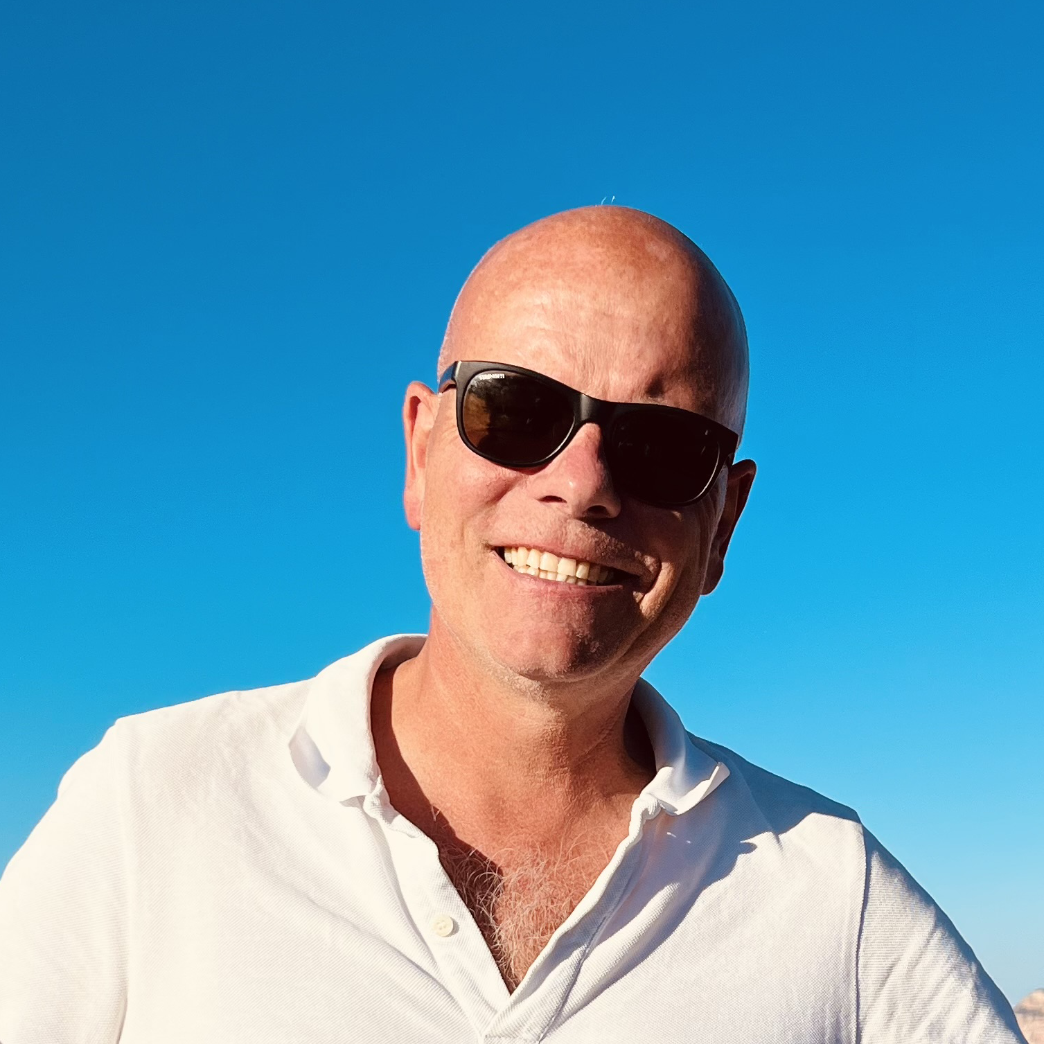
joost heijkers in het veld

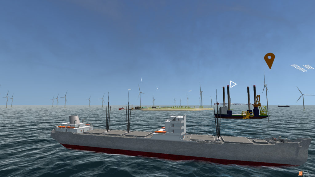
water en logistiek

DigiShape richt zich op partijen binnen de de watersector. Het is onze kracht dat we met partners werken die echt invested zijn. We zijn niet alleen een platform om ideeën te genereren, maar werken vooral actief aan cases en pilots om echt iets voor elkaar te brengen.

Mark van Koningsveld (Van Oord / TU Delft), lid kernteam

Programmalijn Water en Logistiek