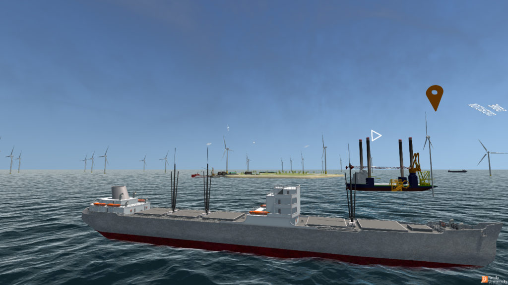
The North Sea is one of the busiest seas in the world and forms a complex playing field for a wide range of interests. Wind farms, busy shipping lanes, fishing, submarine cables and pipelines, and nature conservation compete for space in a limited area. Policymakers face the enormous challenge of making spatial plans that take these interests into account, while limiting negative effects as much as possible.

The need for digitization
Digitalization plays a crucial role in addressing this challenge. By leveraging technologies such as digital twins, machine learning, and AI, policymakers and other stakeholders can make more informed decisions. Digital twins offer a virtual representation of the North Sea, in which scenarios and policy options can be accurately calculated. Machine learning helps to recognize patterns in large amounts of data, such as ship movements, ecological processes and the impact of human activities. AI can simulate complex interactions between environmental, economic, and logistical factors, making predictions more reliable.
In addition, visualization techniques, such as virtual reality, make it possible to present this complex information in an accessible way. This helps policymakers and stakeholders to better understand the consequences of different choices and facilitates inclusive decision-making. Although many tools already exist, there is still a lot to be gained in the integration of systems, improvement of calculation models and accessibility of data.
The role of DigiShape
DigiShape acts as a connecting link in accelerating digital innovation for the North Sea. By bringing together policymakers, scientists, companies and other stakeholders, DigiShape promotes cooperation and knowledge sharing in this area. Forming a network also helps to combine different data streams, develop advanced models and apply new technologies.
